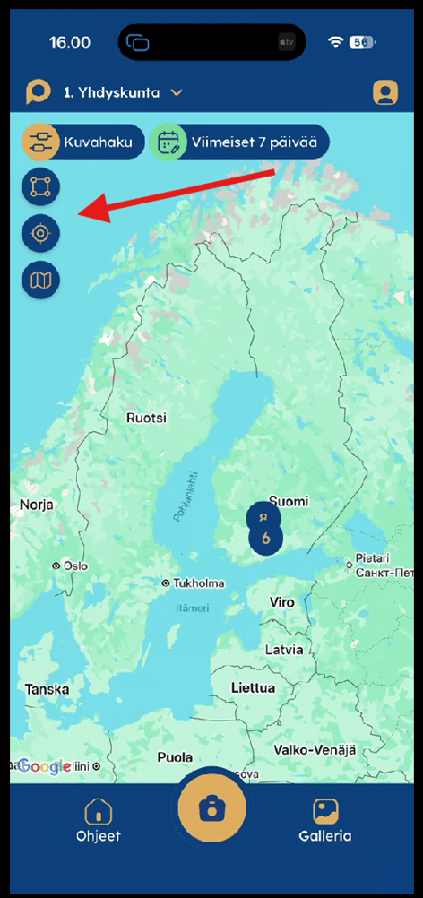
After signing in to the mobile app, the Map View is displayed by default.
By default, the map shows images captured during the last seven days, displayed as markers based on their GPS location.
You can change the date range using the controls at the top of the map. Additional filters are available by tapping the Search Images button.
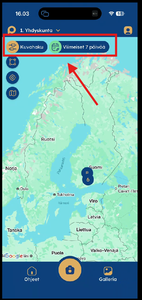


Map Tools
The buttons on the left-hand side of the map are, from top to bottom:
Area Selection Tool
Use the Area Selection Tool to draw a custom area on the map.
Tap the map to place at least three points, creating a polygon around the area you want to search. Once you've defined the area, tap View Images at the top of the screen to display all images within the selected area.
Locate Me
Tap the Locate Me button to centre the map on your current location. This makes it easy to see where you are and what images have been captured nearby.
Map Type
Use the Map Type button to switch between the satellite view and the standard map view. This button is located below the Search Images button on the left-hand side of the map.